


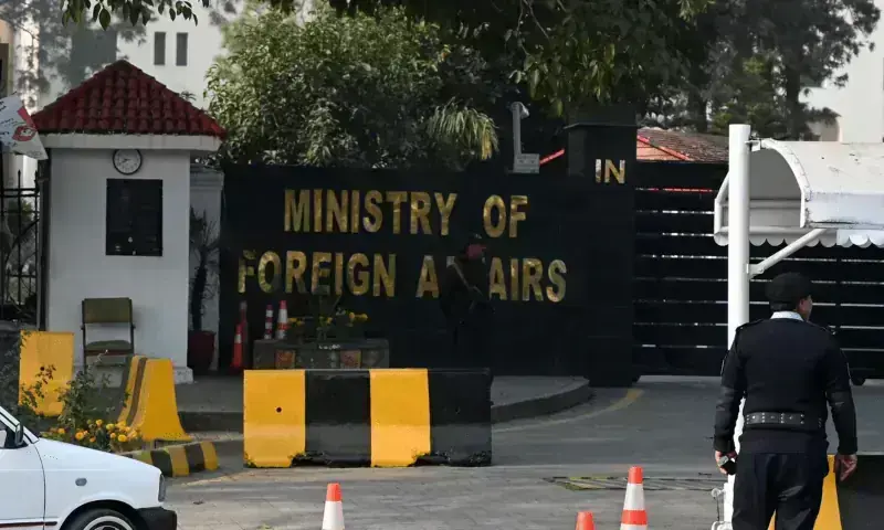
The Foreign Office (FO) on Monday denied what India was saying about the situation in Kashmir, stating that New Delhi’s “unilateral claims of control do not affect the disputed status of the area”.
This response came after the United Nations voted on Friday to support a proposal led by African countries. The proposal aimed to show the landmass of the continent accurately, making it look larger while making North America and Europe look smaller. India was one of the 164 countries that voted for the proposal.
The Indian Ministry of External Affairs said on Sunday that the proposal did not mean that any particular map or way of showing borders was being accepted. It also said that its land, “including Jammu and Kashmir and Ladakh,” should be shown according to its ” map”. It added that any change was “not acceptable”.
In a statement on Monday, the Foreign Office spokesperson, Sajjad Haider Khan, said: “Pakistan completely refuses India’s claims about the situation in Jammu and Kashmir, which go against the facts that are known around the world.”
“India’s one-sided actions and ongoing illegal occupation can’t change the fact that Jammu and Kashmir is a disputed area that is recognised as such by the international community ” he said.
He added that the Kashmir issue is still one of the unresolved disputes that is recognised by the United Nations (UN) Security Council.
“The UN resolutions say that how Jammu and Kashmir is finally handled must follow the UN Security Council resolutions and the wishes of the Kashmiri people, which should be shown through a fair vote under UN supervision,” he added.
“The official UN maps that show Jammu and Kashmir as a disputed area are the maps that show its current legal status ” he said.
“India’s official maps and its claims of control don’t affect the status of the area,” the FO spokesperson said.
“Pakistan asked the world to make sure India stops human rights abuses in Indian Illegally Occupied Jammu and Kashmir and to keep its promise to help the Kashmiri people get the right to decide their own future, as the UN Security Council resolutions say,” the FO spokesperson said.
The UN resolution said the new map, called the Equal Earth projection, is a good choice for making maps of the world more accurate.
It asked countries to use the map instead of the traditional Mercator projection, which was made for ships to navigate by a Flemish mapmaker named Gerardus Mercator in 1569.
The United States criticised the resolution, saying that actions like this are why the UN is losing its trustworthiness.